On the 10th of July TechDemoSat-1 comes to the end of its mission. It was launched on the 8th July 2014 for a three year mission and has been a huge success. For those that aren’t aware , TDS-1 was built on a very tight schedule with an incredibly low budget. TDS-1 was built in around 2.5 years and in that time supported between 8-11 different payloads from industry (often changing!) at any one point.
After all that , TDS continues to operate in Orbit. It should also be noted that TDS had only a heritage primary string and relied entirely on SSTL’s new developments and innovations for its redundancy as well as in some key primary roles.
As of the 10th July 2017, all payload and SSTL PD operations will be ceasing now as the mission ends after its 3 year life and the craft will be placed ‘on ice’ in Orbit. During this time, nothing will run on the craft and it will just be monitored by the SSTL Ops teams and kept safe whilst arrangements are made for either the de-orbit or repurpose of the craft. At this point SSTL will NOT yet be deploying the de-orbit sail as there is possibility that if funding can be secured the craft may be used further.
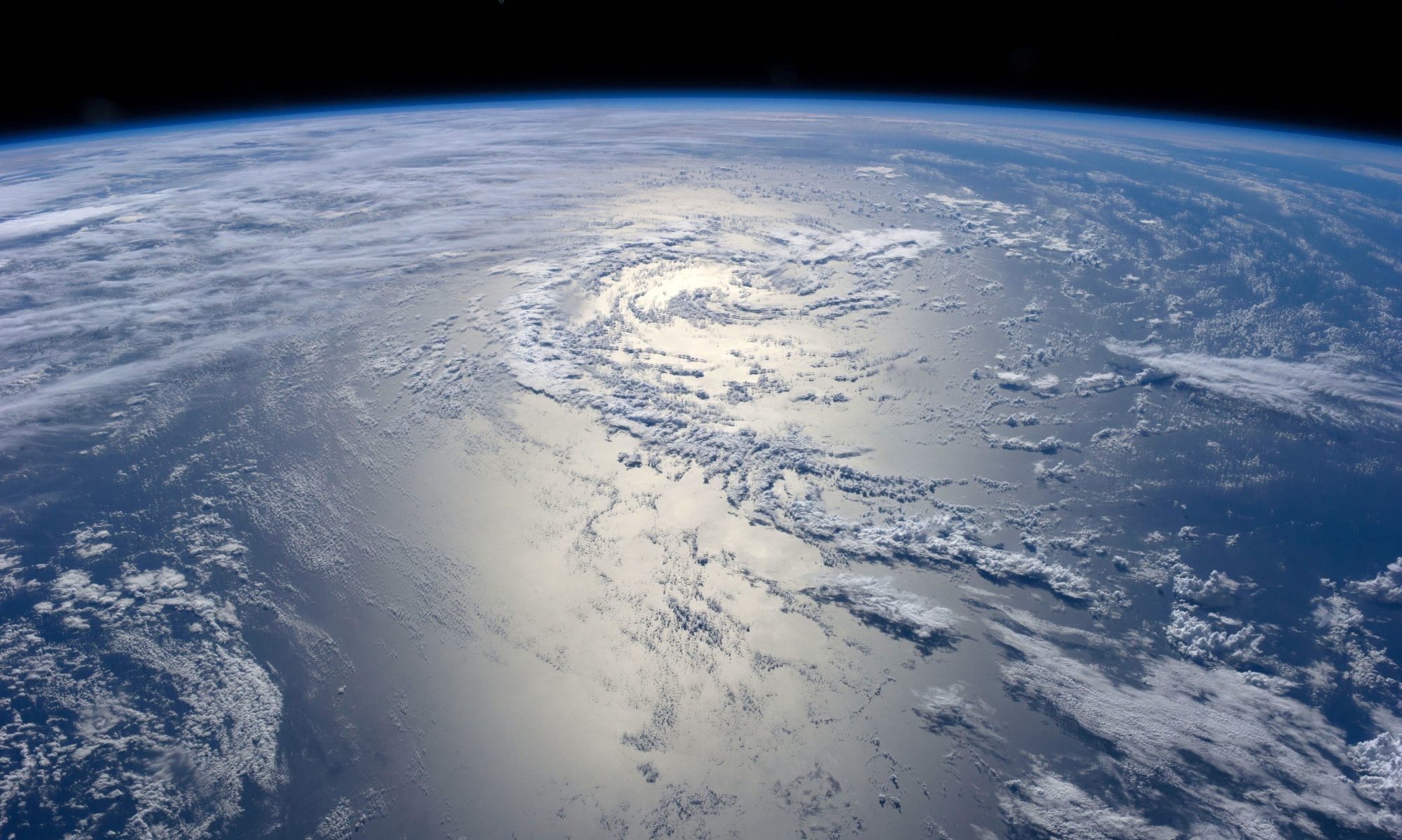
The flight of our SGR-ReSI has proven a new remote sensing technique, GNSS Reflectometry which is able to measure winds over the ocean to around 2 m/s, as well as sensing ice and land reflections. This experiment also has enabled the NASA CYGNSS mission – right now there are eight 25 kg microsatellites orbiting the Earth each with SSTL’s SGR-ReSI and waiting for the next hurricane to measure. TDS-1 has firmly established GNSS-R as a new earth observation technique.
We are aware of 27 journal papers that are using TDS-1 GNSS-R data. There are certainly more on the way.
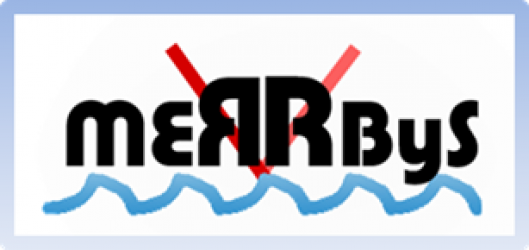
We are currently looking for ways of extending the TDS-1 mission to allow further operations of the SGR-ReSI, to continue providing data on MERRByS, developing a sea state / weather monitoring service and with a view to flying more such instruments.